West Coast of Ireland road trip
Wild Atlantic Way itinerary
The Wild Atlantic Way is 1,600 miles (2,600 km) long and most people drive it in 10 to 14 days — though you can sample a brilliant section in a long weekend. It is the world's longest defined coastal route, running down the entire west coast of Ireland from the Inishowen Peninsula in Donegal to Kinsale in County Cork. Few people drive every mile, so this guide maps the route by region and shows you the best sections to prioritise if you are short on time.
- Duration
- 10–14 days
- Distance
- 1,600 miles
- Start and finish
- Derry/Donegal to Kinsale (north to south)
- Best time
- May, June and September give the best balance of daylight, open visitor centres and lighter crowds. July and August are busiest, especially on the Ring of Kerry and around the Cliffs of Moher.

See the ready-made plan
The full Wild Atlantic Way itinerary is already plotted in the planner, day by day. Open it to see the route on the map, then drag stops, add your own and keep notes as you go.

Why drive the Wild Atlantic Way?
A practical Wild Atlantic Way itinerary down Ireland's full west coast, from Donegal to Kinsale, with the best sections to drive if you have less than two weeks.
- Slieve League cliffs and the Donegal coast
- Connemara, Killary Fjord and Achill Island
- The Cliffs of Moher and the Burren
- The Ring of Kerry, Dingle and West Cork
10–14 days Wild Atlantic Way itinerary
Days 1–2
Donegal and the far north-west
Start in the wild north around Inishowen and Fanad Head, then drive to the towering Slieve League cliffs, some of the highest sea cliffs in Europe.
Days 3–4
Sligo, Mayo and Achill Island
Continue past Mullaghmore and the surf beaches of Sligo into Mayo, crossing the bridge to Achill Island for its Atlantic drives and Keem Bay.
Days 5–6
Connemara and Galway
Loop through Killary Fjord and the mountains and bogs of Connemara, then base yourself in lively Galway city.
Days 7–8
The Burren and the Cliffs of Moher
Cross into County Clare for the limestone landscape of the Burren and the most-visited stop on the route, the Cliffs of Moher.
Days 9–11
Dingle and the Ring of Kerry
Drive the Dingle Peninsula and the famous Ring of Kerry loop around Iveragh, with detours to Slea Head and the Skellig coast.
Days 12–14
West Cork to Kinsale
Finish through the quieter peninsulas of West Cork — Beara, Sheep's Head and Mizen Head — ending at the harbour town of Kinsale.
Planning tips
Don't try to drive it all
At 1,600 miles, the full route needs two weeks or more. Most people pick two or three regions, such as Kerry and West Cork, or Connemara and Clare.
Drive the Ring of Kerry anticlockwise
Tour coaches travel the Ring of Kerry clockwise, so driving the opposite way avoids meeting them head-on on narrow sections. Start early to beat the crowds.
Build in weather days
The Atlantic coast is beautiful but exposed and changeable. Keep your itinerary flexible so you can save cliff viewpoints for clearer days.
Wild Atlantic Way FAQ
How long is the Wild Atlantic Way?
The Wild Atlantic Way runs about 1,600 miles (2,500 km) along Ireland's west coast, from the Inishowen Peninsula in Donegal to Kinsale in County Cork.
How many days do you need to drive the Wild Atlantic Way?
To drive the whole route comfortably, allow 10 to 14 days. With a week, focus on one or two regions such as Kerry and West Cork, or Galway, Connemara and Clare.
Where does the Wild Atlantic Way start and finish?
The official route runs between Kinsale in County Cork and Muff on the Inishowen Peninsula in Donegal. You can drive it in either direction.
What is the best section of the Wild Atlantic Way?
The most popular sections are the Ring of Kerry and Dingle Peninsula in the south-west, the Cliffs of Moher and Burren in Clare, and Connemara in the west. Donegal's Slieve League is the highlight of the north.
Related road trips

North Coast 500
Scotland's signature road trip — beaches, single-track passes and NC500 campsites from Inverness round the north.
- Duration
- 7 days
- Distance
- 516 miles
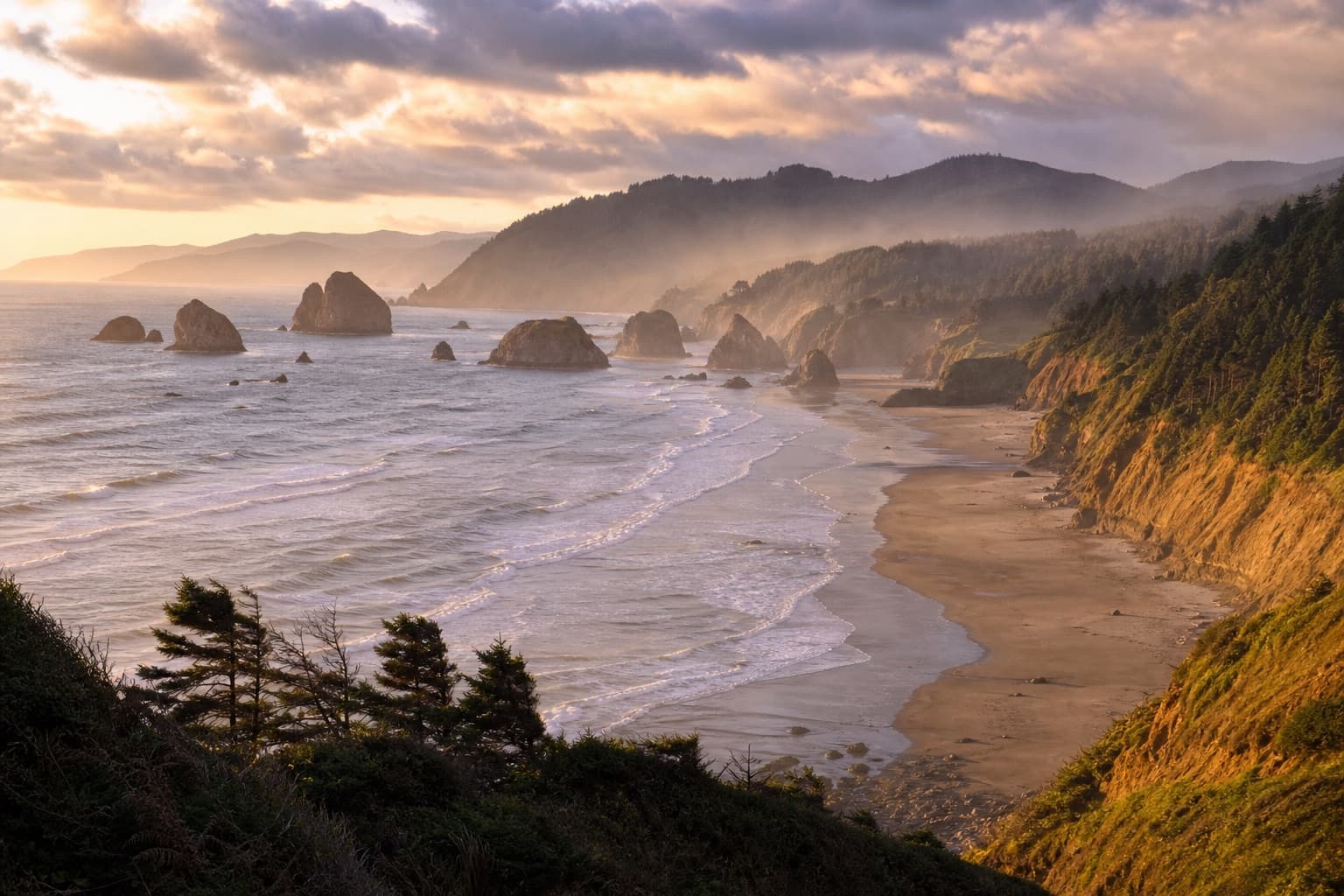
Oregon Coast Road Trip
Drive the full Oregon Coast on US-101 from Astoria to Brookings — sea stacks, lighthouses, the Oregon Dunes and the Samuel H. Boardman corridor.
- Duration
- 5 days
- Distance
- 363 miles

Northern Spain Road Trip
San Sebastián to Santiago along the Picos de Europa, Cantabrian coast and Camino backroads.
- Duration
- 10 days
- Distance
- 850 miles